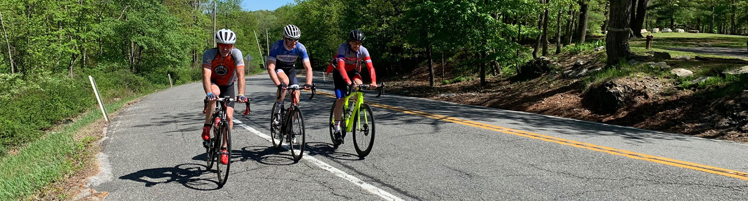
Ride #11 Extension
High Point Monument Extension
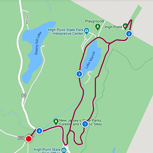
Distance: 4.1 miles Elevation Gain: 387 feet
Ride Notes
High Point State Park Main Area, Veterans Monument, Glacial Lake, NJ’s Highest Point
Directions
This ride can be used as an extension to Ride # 11 (HP Ridge Rd Loop). Or, as a separate, short ride, you can start from the Winter Parking Lot on Ridge Rd for a 4.5 mile ride.
0.0
From the intersection of Ridge and Sawmill Roads, continue toward Rt 23. (This is milepost 9.1 on the High Point Ridge Road Ramble.)
0.1
Turn right onto Rt 23. (If you wish to avoid Rt 23, cross the highway—carefully and quickly!—and take the Old Trail one-half mile directly into the park. The trail is an old carriage road ridable by a mountain or gravel bike. Once in the park, you will have the choice to turn left for a shorter ride to the monument or turn right to get to Scenic Drive.)
0.5
(Carefully!) turn left into the Main Park.
The landscaping of the park was designed by the Olmstead Brothers, the same firm that designed Central Park in New York.
The stone home on the left is the highest residential dwelling in the state.
0.6
Pass the tollbooth.
An entrance fee is collected from Memorial Day to Labor Day, but pedestrians and bicyclists are free, as are NJ senior residents.
0.6
Turn right on Scenic Drive.
Scenic Drive roller-coasters. (For a much easier ride, don’t turn. Just proceed straight and stay on the main road—it leads to the Monument.)
1.5
Views of Lake Marcia and the Pocono Mountains of Pennsylvania on left.
Look for the small parking pull-off on your right. A very short path leads to a large wooden observation deck with a beautiful view of the Monunment and surrounding countryside.
1.7
Bear right onto Monument Rd.
2.0
Turn left toward the Monument.
2.1
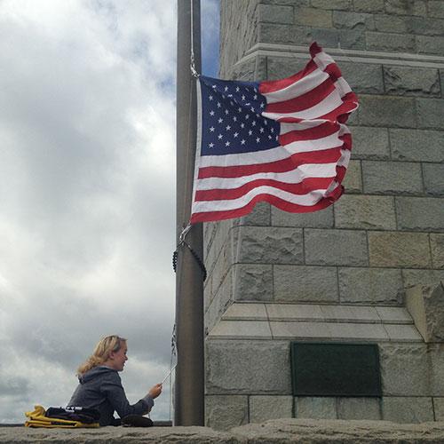
The Top of New Jersey!
Congratulations! You’ve arrived at the highest point in the state of New Jersey. The 220 foot Monument is built at 1,803 feet above sea level.
Three states (NJ,NY,PA) are visible from the vista. On a clear day, the Catskills, Shawangunks, and Hudson Valley are visible. The Poconos of Pennsylvania dominate the western view and Pochuck and Hamburg Mountains stand out to the east. Most of HPSP was donated by Col. Anthony and Susan Dreyden Kuser. They also built the obelisk as a war memorial and donated it to the people of New Jersey. A chronological history of High Point can be found in the free pamphlet “A High Point in Time” available at the HPSP Office on Rt 23.
Begin the return descent by proceeding down Monument Rd.
2.5
Pass Cedar Swamp Dr and entrance to HPSP Interpretive Center on right.
Lake Marcia is on your left.
The Interpretive/Nature Center is worth a visit. Aside from the nature displays, the building itself is beautiful. Made of stone with a great fireplace and massive beams, it was originally built as the cafeteria for the CCC Camp located here; it later became The Grey Rock Inn. The Friends of High Point State Park sponsor a number of events here throughout the year. Check out their Facebook page.
3.0
Lake Marcia
The shoreline here is the place where the Monument is photographed the most. The beach area is the former site of a girl scout, then boy scout, camp.
The story of this lake’s name originates with the 1854 state geological surveyor, his fiancé, and a love poem. Get the whole story from High Point of the Blue Mountains available at the Sussex County Library, or by reading the informational stations inside the HPSP Interpretive Center.
The beach and bathhouse of this glacial lake, the highest lake in New Jersey, are open from Memorial Day to Labor Day. If you packed a bathing suit, stop for a dip.
3.5
Pass Scenic Dr and tollbooth.
3.6
Turn right out of the Main Park and onto Rt 23.
4.0
Turn left onto Sawmill Rd.
4.1
Intersection of Sawmill and Ridge Roads.
Continue from this point in the High Point Ridge Road Ramble (Milepost 9.1)