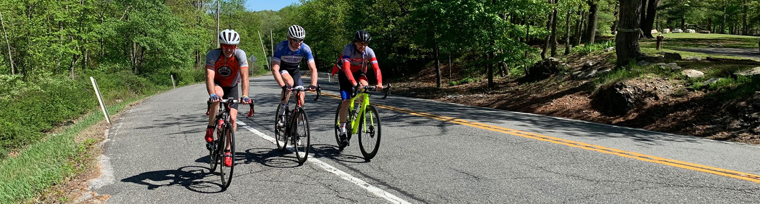
Ride #6
Rock Wall Ride
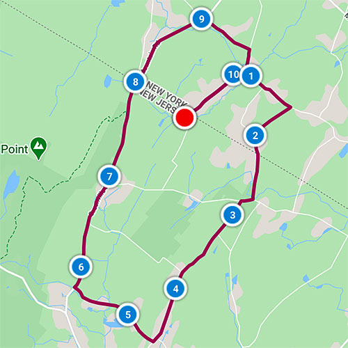
Distance: 10.7 miles Elevation Gain: 740 feet
Ride Notes
You’ll find rock walls on every one of these rides. If there’s one natural element that’s plentiful in Wantage, it’s rocks. As you bike along Greenville Rd (Rt 519) you’ll see some new walls recently constructed by homeowners, but if you look into the woods on your right, you’ll see the old ones made by farmers. The best time to see them is when the leaves are off the trees.
Directions
The ride starts on Courtright Rd. From Greenville Rd (Rt 519), drive .6 miles on Mt Salem Rd and turn left onto Courtright Rd. Drive about .8 mile and look for the small dirt parking spot on your left, next to a small bridge.
0.0
Camp Sunowa
The surrounding area was once Girl Scout Camp Sunowa, active until 1971. It is now the Appalachian Trail corridor and part of High Point State Park.
Head north (left) on Courtright Rd.
You immediately enter Greenville, NY.
0.9
Bear right to continue onto Carpenter Rd.
1.1
Pass Dug Rd on right.
1.2
Farm
There are many sites like this that were once active dairy farms. This farm owner along with friends, neighbors, and relatives constructed the standing barn in the 1950s. Interior wood was salvaged from a store in Bloomfield, NJ that sat on the abandoned Morris canal bed just before it was filled in and turned into a highway.
1.5
Turn onto Mt Salem Rd.
This Mt Salem Rd should not be confused with the nearby NJ road with the same name.
2.2
NJ/NY State Line; Appalachian Trail Crossing
The road name changes to Fergerson Rd, named for the multi-generation family farm located on this road at the state line. Unfortunately, the spelling of the road does not match the spelling of the family!
2.7
Turn right onto Mt Salem Rd.
The remains of a residence that was once the Mt Salem one-room schoolhouse are still visible on this corner. The residence burned in a fire.
2.8
Turn left onto Mudtown Rd.
4.6
Turn right onto Medaugh Rd.
5.7
Turn right onto Greenville Rd (Rt 519).
You are riding along the base of the Kitattinny Mountains, part of the Appalachian Mountain Range. In the spoken Lenni Lenape language, “kit” translates to “great” and “atin” translates to hill or mountain. The Kitattinnies extend into New York where they are known as the Shawangunks. In Pennsylvania they’re called the Blue Mountains.
7.9
NJ/NY State Line
Road name changes to Mountain Rd (Rt 55).
9.0
Turn right onto Hardscrabble Rd.
9.6
Turn right onto Case Rd.
9.85
Turn right onto Courtright Rd.
10.7
Arrive at start.